Professional Topographical Survey Services
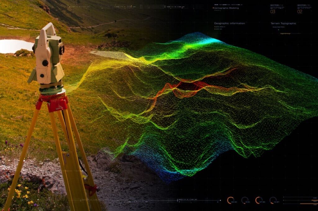
Professional Topographical Survey Services admin December 19, 2024 Uncategorized Understanding Topographical Surveys A topographical survey provides an accurate, scaled depiction of natural and man-made features of a given site. These include buildings, fences, contours, trees, and water bodies, with precise elevations and spatial data (coordinates, bearings, distances). Such surveys form the foundation for effective planning […]
The Role of Remote Sensing and GIS in Transforming Agriculture in Kenya
The Role of Remote Sensing and GIS in Transforming Agriculture in Kenya admin December 19, 2024 Uncategorized The integration of Remote Sensing and Geographic Information Systems (GIS) has revolutionized agricultural practices in Kenya, enhancing productivity, resource management, and sustainability. As the agricultural sector faces challenges such as climate change, population growth, and resource scarcity, these technologies offer innovative solutions […]
Harnessing GIS for Sustainable Development: Innovations Driving Global Change

Geographic Information Systems (GIS) have emerged as a transformative technology, enabling organizations and governments to address some of the most pressing global challenges.